Recently I took my Garmin Forerunner GPS watch with me and left it switched on while I had a helicopter ride with Sundance Helicopters to visit the Grand Canyon. Exporting the data to Google Earth allows me to recreate in excruciating detail the flight we took for family and friends.
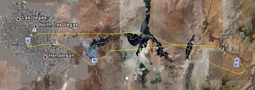
Here’s the trip as a whole:
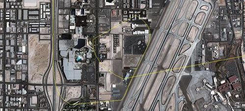
This is the airport we left from:
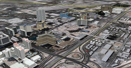
Flying down the strip was pretty cool:
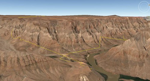
The landing site (top down view here) and picnic area:
I was pretty amazed by the terrain data in Google Earth. It’s been a while since I had a good explore through it (I also noticed a lot more 3D buildings too, kudos Google for all the great recent updates).


